I am a certified Google Streetview Photographer and offer to create virtual tours for Google Maps or for your own website. I also offer aerial photography, as well as architectural, product and portrait photography.
I am a certified Google Streetview Photographer and offer to create virtual tours for Google Maps or for your own website. I also offer aerial photography, as well as architectural, product and portrait photography.
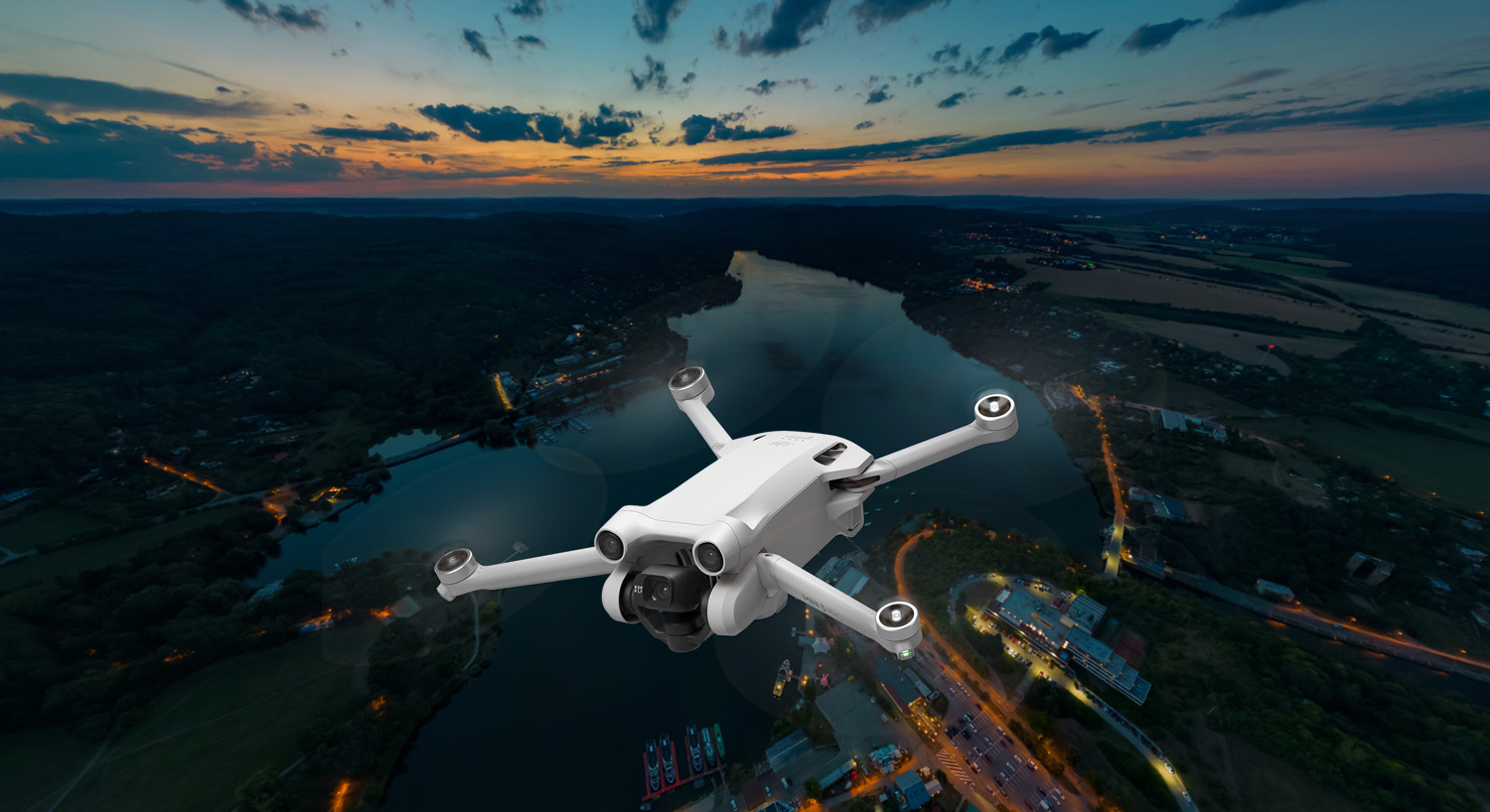
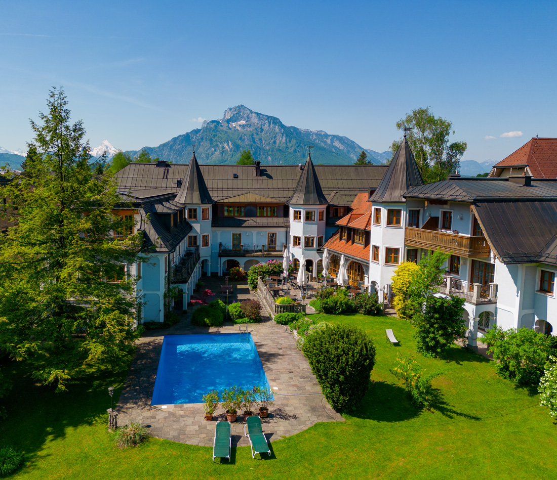
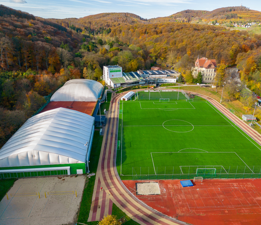
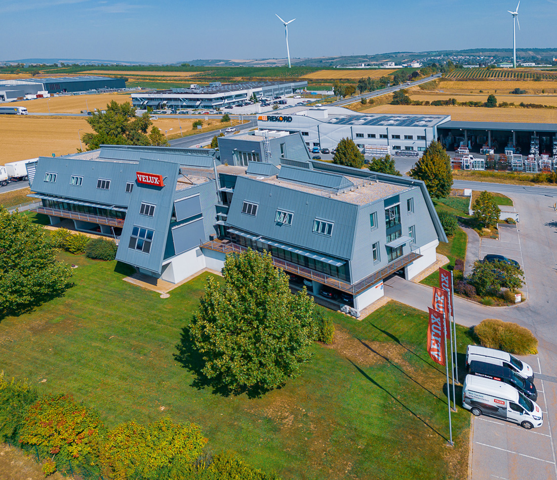
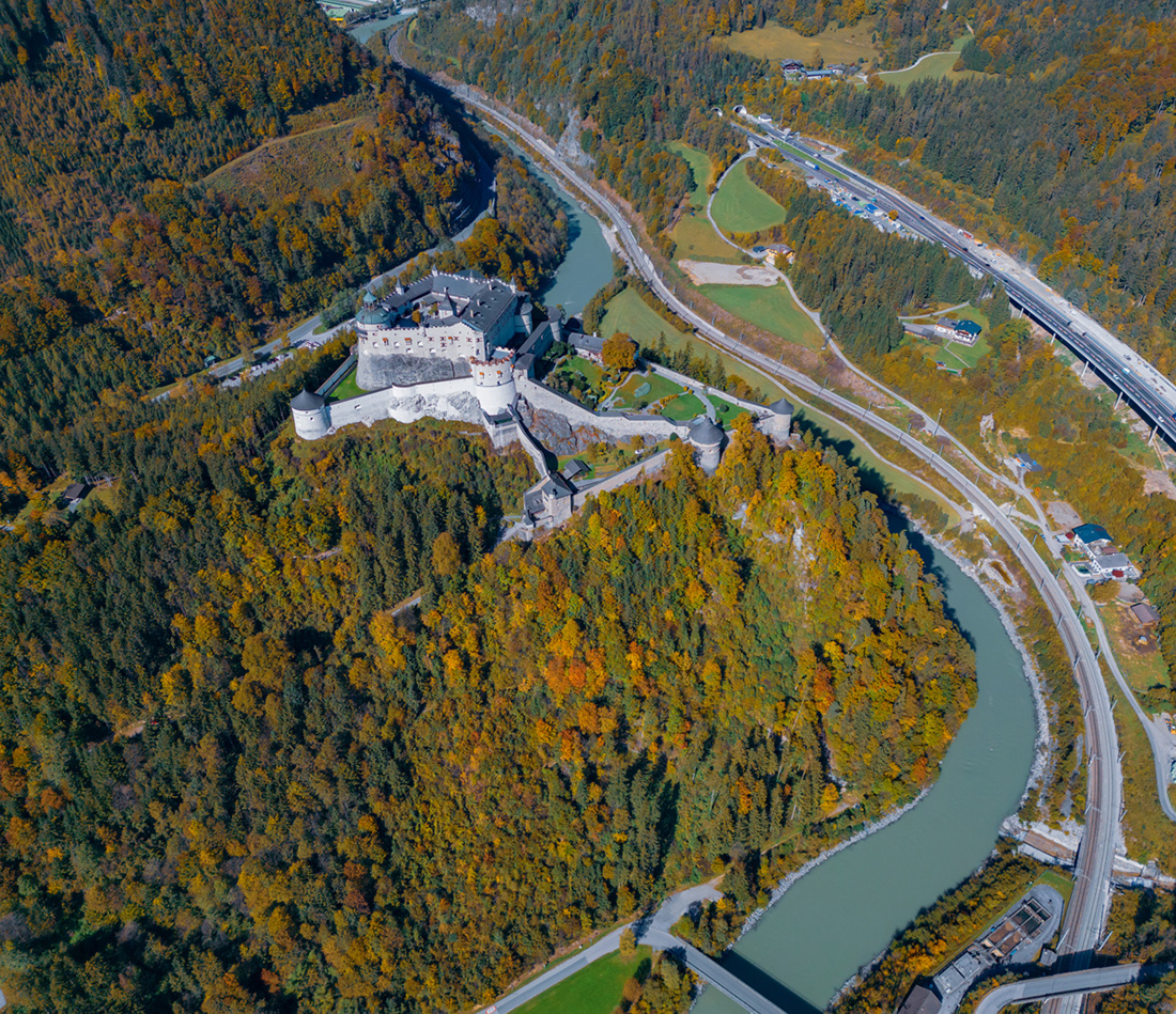
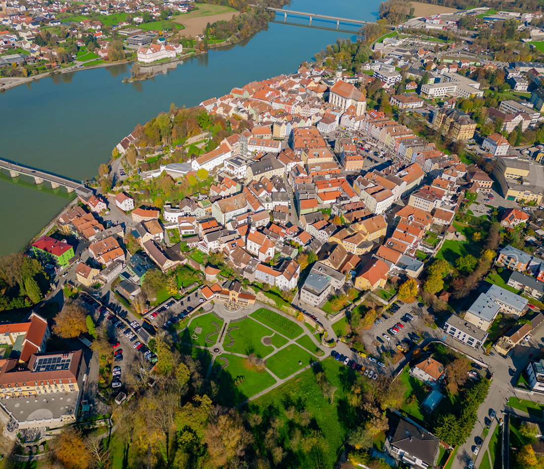
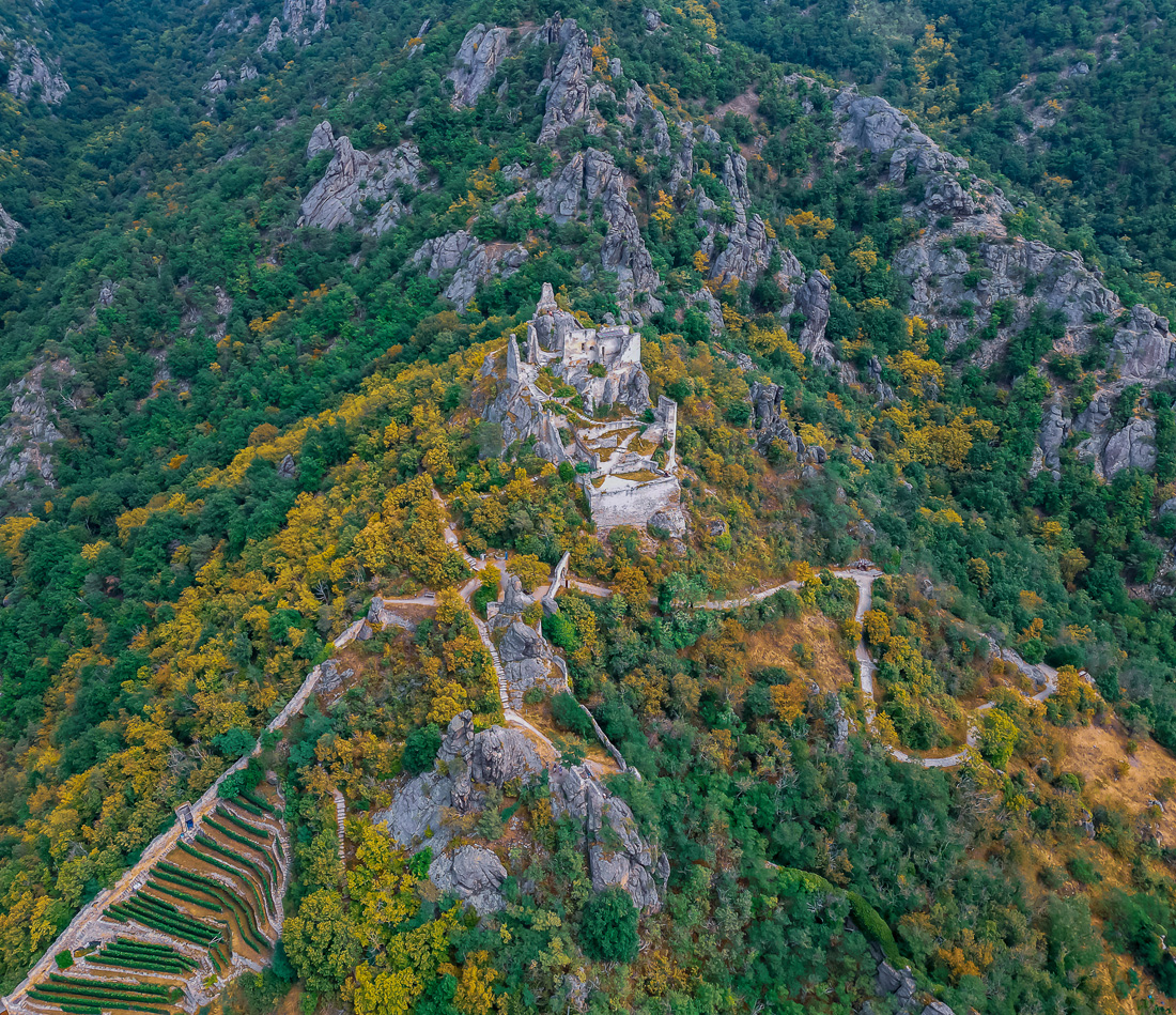
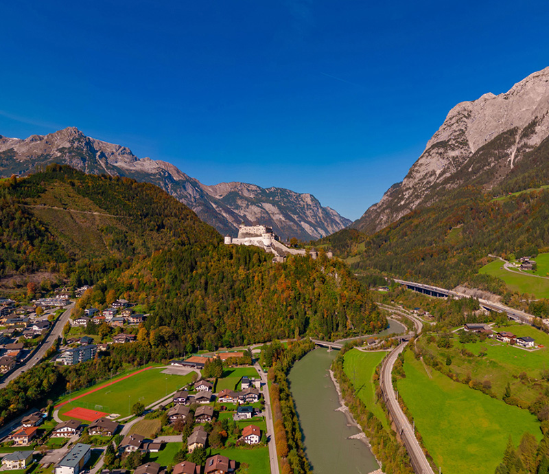
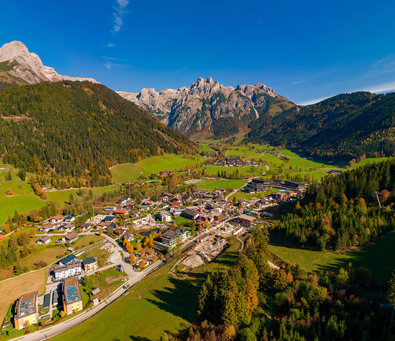
In order to showcase the size and location of a company perfectly, it is sometimes necessary to change perspectives. Multicopters and high tripods make it possible. I create high-quality HDR images and 360° panoramas from the air for you, which provide a clear all-round view from a bird's eye view.
I use a high tripod up to a maximum height of 7 meters. About that a multicopter will be used. The maximum permitted flight altitude is limited by law to 120 meters. Each location must be checked by me for no-fly zones before signing the contract. Please note that one is not allowed to fly everywhere with a multicopter, or that one may need additional permits that are subject to a fee. In places where flying is not allowed, I can take 360° photos from satellite images.
Up to 2 meters in height - tripod
Up to 7 meters - high tripod
Up to 120 meters - drone
From 120 meters - satellite images